By Richard Kerama
Kenya is considered one of the priority partner countries of Korea International Cooperation Agency (Koica), and has been granted US$2.8 million for a mapping project to support the Lamu port project.
According to the Resident Representative of Koica Kenya Office, Choi Moon-jung, the organisation is further increasing its support to the Kenya Government by funding a project in a most significant sector, that is mapping.
Koica is carrying out a bilateral grant project in Lamu involving production of 1:5,000 scale topographic data framework for an area covering about 500-kilometre square of Lamu Island and its environs. The project has been prioritised under the Medium-Term Plan (2007–2012) of the Vision 2030.
"Three Koica experts are currently in Kenya meeting with officials from the Ministry of Lands and the Survey of Kenya to discuss matters concerning this project." said Mrs Moon-jung.
"The main objective of their visit involves initiation of this very crucial project that is the foundation of all future development plans in Lamu. They shall also conduct a site visit to Lamu at the end of this week."
The experts will be in the country to examine the Lamu region so as to better understand the project site, identify with the current equipment and software available at the Survey of Kenya so that necessary supplementary software and equipment can be provided by Koica for a more accurate and advanced map.
Business hub
The Senior Assistant Director at the Survey of Kenya in charge of Mapping in Kenya, Polly Gitimu, has left for Korea to attend a training course in "Capacity Building for Surveying and Mapping Agencies".
The course shall also involve her participation in the coveted first high level forum on United Nations initiative on Global Geospatial Information Management conference taking place in Seoul from the 24th–26th of this month.
Koica shall also invite five high level officials and ten mapping technicians from the Ministry of Lands at a later date to attend an invitational training course in Korea as part of this project.
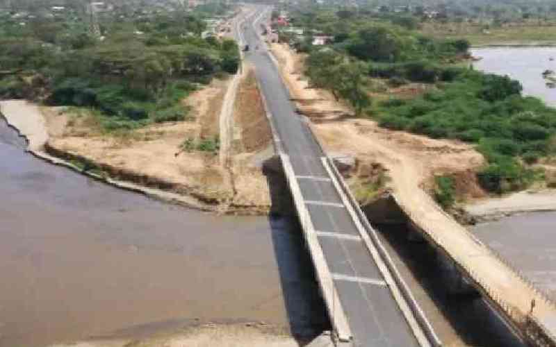
This project will support Kenya Government’s plans to develop the Lamu Port, making Lamu the second port of Kenya. Lamu will soon be a gateway to Northern Kenya, Ethiopia and South Sudan, while serving as a hub for road, rail and air transport to these areas.
The area is currently covered at the 1:50,000 topographical map series, which are now out of date. This scale is not appropriate for planning for civil engineering, construction and building works, which will have to be carried out, hence, this project is vital in order to plan and develop the necessary infrastructure for the anticipated port.
A Kenya-Korea partnership is the most accurate recipe for the success of this project, as Korea being not much different from Kenya, can better understand Kenya’s difficulties.
Stay informed. Subscribe to our newsletter
 The Standard Group Plc is a
multi-media organization with investments in media platforms spanning newspaper
print operations, television, radio broadcasting, digital and online services. The
Standard Group is recognized as a leading multi-media house in Kenya with a key
influence in matters of national and international interest.

