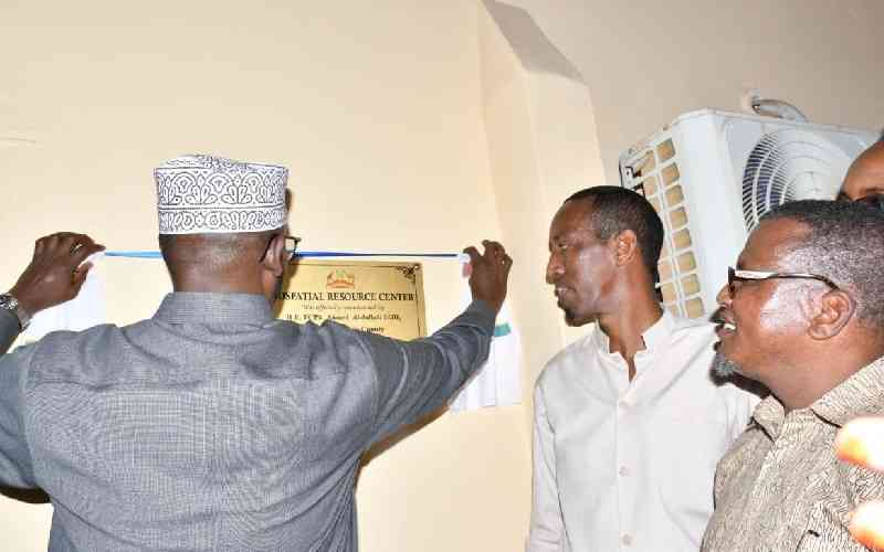
Governor Ahmed Abdullahi launches Wajir's GIS resource centre

Loading Article...

For the best experience, please enable JavaScript in your browser settings.

Wajir Governor Ahmed Abdullahi poses for a photo with delegation heads from the neighbouring Samburu, Garissa and Turkana counties. [Mohamed Saman, Standard]

"Wajir County's GIS initiative emphasizes the importance of adopting innovative solutions for governance and development. It is a testament to the county's aspiration for progress and innovation. It signifies a harmonious step forward towards data-driven governance and a brighter future for the county," said Governor Ahmed.

According to Mercy Corps country director Kunow Abdi, the objective of GIS is to improve and provide up-to-date spatial data to support critical decision-making by county governments and other stakeholders.

A message echoed by Lands chief officer Abdullahi Issack who lauded the platform as a game-changer in the dissemination of geospatial information to support urban planning, infrastructure development and environmental monitoring.

GIS will be domiciled in the Geospatial Resource Centre in the Lands docket.

"The G.I.S centre will act as a vocal point for collaboration between different stakeholders, providing access to geospatial data," said Issack.

The event was graced by delegations from the neighbouring Samburu, Garissa and Turkana counties led by their respective deputy governors.