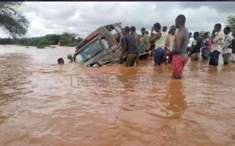
In an advisory to various government agencies and private organizations, WRA Chief Executive Officer Mohammed Shurie noted that the situation was getting worse by the day.
He noted that with the intensity of the rains increasing by the day, many parts of the country were expected to be affected by the floods .
Shurie identified parts of Upper Tana, Lower Athi, Ewaso Ng'iro basins, Wajir, Mandera, Isiolo and Samburu counties as the hardest hit by the rains.
"The situation is expected to escalate to other basins and flash floods may be experienced in some urban centres like Nairobi city and Narok in the coming days," he said.
He said that the authority had mapped out Lower Tana, Nyando, Nzoia, Sondu, Migori, shorelines of Lake Victoria and Rumuruti as areas that could be flooded.
"Other areas to be on the lookout include laggas the Mid Tana basin (Kitui and Makueni counties) and Ewaso Ng'iro North basin (Wajir and Mandera counties) and Northern Rift Valley Basin," he said.
The CEO called on the public to strictly comply with the cautionary measures , which included keeping off flooded roads and identifying escape routes.
He called on dam owners to keenly monitor water levels and to alert those living downstream in case of a spill.
"We are calling on communities living downstream of dams to be vigilant and adhere to alerts from the authority and dam owners," he said.
Earlier, the National Water Resource Users Association (NAWARUA) had called on families living near water bodies in Lake Naivasha Basin to be wary of the heavy rains.
NAWARUA chairman Enock Kiminta said El Nino could be turning out to be a reality, with the intensity of the rains increasing by the day.
Kiminta identified Kihoto, KCC, Manera, Kamere and Kasarani as some of the estates that could be affected by the rains as water levels in Lake Naivasha and River Malewa begin to rise.