Why land boundaries must be respected

By Frank Odhiambo

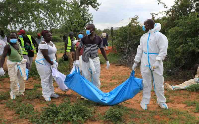
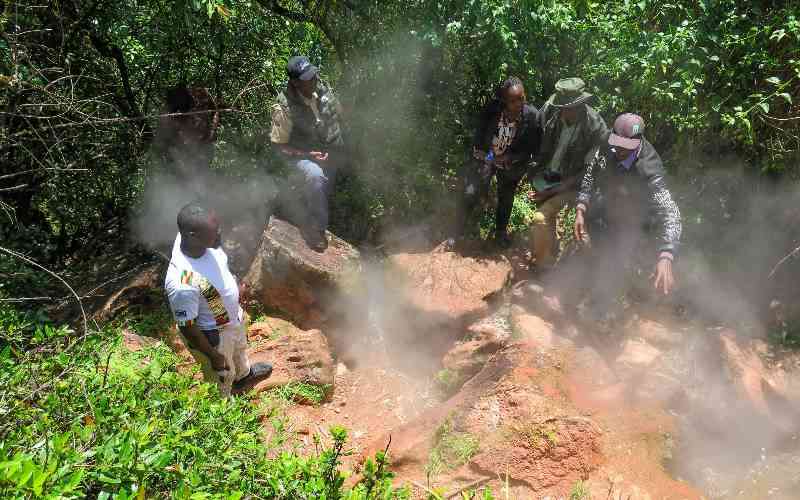
Land is the most important natural resource for creation of wealth. Land brings with it economic power, which is the basis of social and political power. Most wars and skirmishes all over the world have been fought over land or disputed land boundaries. In Kenya, communities, neighbours and family members have clashed over land and boundary disputes, sometimes with fatal consequences.

Map showing Kenya’s borders. Photo: File/Standard

cadastral plan identifies a particular parcel of land for purposes of ownership and registration and thereby shows the boundaries with the degree of accuracy as defined in the legislation governing the transfer and holding of land. It is important to note that the cadastral plan is the authority to produce a land certificate or title deed, meaning no ambiguity should rise between the title and the property on the ground.

There are two types of cadastral boundaries: fixed boundary survey and general boundary survey.

Importance of beacons

Fixed boundary demarcates a parcel of land accurately as determined by a survey. Also known as precise boundary, it is based on an accurate control network of coordinated points established rigidly and mathematically to contain any error throughout the survey. Once survey marks known as beacons have been placed, the boundaries and the extent of the property cannot be disputed as long as procedures and regulations of establishing fixed boundaries as spelt out in the Survey Act have been adhered to.

All lands registered under the Land Title Acts, the Government Land Act and Registration of Title Act are done under fixed survey.

General boundaries on the other hand are approximate boundaries whose exact positions have been left undetermined. The boundary might be the hedge, wall, ditch, river, road or the centre line or sideline of those features between neighbouring parcels of land. The provision for general boundaries is in the Registered Land Act. All lands formerly under the Land Adjudication Act and Land Consolidation Act are registered under the Registered Land Act. Also under this Act is Land (Group Representatives) Act and Sectional Properties Act. Registry Index Maps (R.I.M), which are purely for identification purpose and showing the approximate position of the boundaries and parcel of land are produced to back up registration and issuance of title deeds. In the R.I.M there is a disclaimer that the map is not an authority on boundaries unless it is fixed. It is, therefore, important for property owners to maintain the boundaries as shown and pointed to them during first registration or as indicated by a surveyor during subsequent subdivision. Any dispute arising about land and boundaries under the Registered Land Act should be referred to the respective land registrar for determination who in turn will call the land surveyor as expert witness.

Survey beacons

Cases have been reported of people interfering with property boundaries and destroying survey pillars due to rumours that they contain mercury or that underneath those pillars are valuable minerals.

In rural areas, people are known to shift their neighbour’s boundaries when cultivating. In urban areas, cases have been reported of people uprooting original beacons and placing false ones to enlarge their plots hence creating disputes.

As spelt out in the Land Adjudication Act, Registered Land Act and the Survey Act, whoever destroys or interferes with those features is liable for imprisonment, court fine or both. The culprit will also pay the cost of restoring the features.

The witer is a Survey and Mapping Professional, Maptechconsult.