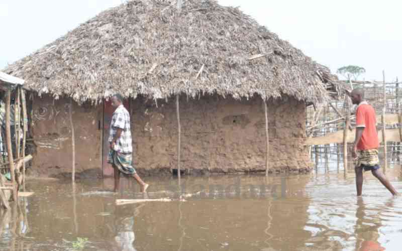
Britam taps new frontier with flood insurance for vulnerable regions

Saurabh Sharma is the Director, Emerging Consumers at Britam. [Courtesy]

What aspect of loss does the Sh50,000 seek to cover?

It covers any kind of economic loss that a family has experienced. It is not linked to any specific loss.

How exactly does the product work?

It is an index insurance product. Traditionally, insurance products are indemnity-based. For climate insurance, in the last two decades, products have moved from an indemnity base to an index. The reason is simple. Let's say there are floods in the Tana River; you will need to go and assess the affected households, which is operationally inefficient and costly to do a loss assessment on the ground. Second, this process delays claims payments.

We know motor insurance claims take 60 to 90 days, but if you take the same period to pay climate insurance, it does not make sense, hence the innovation of index-based products. What index products mean is it does not look at the actual loss but an index causing the loss.

For Tana River, we look at the Tana River water level at the Garissa Bridge, which has a gauge installed by the Water Resources Authority (WRA). The gauge monitors water levels hourly and the data is collected by WRA. We use that data to pay these claims. If the river levels go above four metres, we automatically pay the claims within seven days. We do not need to be on the ground to see what the loss is. And the claim payment can be used by the family for anything.

The payments are made for water levels between four to six metres. If the river level is above six metres, the entire Sh50,000 is paid because that means the flood is severe. But if it is between four to six metres, a portion of that is paid.

Why did you choose the three counties?

These are areas prone to floods.

When you roll out the product nationally, does this mean some areas will be locked out?

The product makes sense where the flood risk is high for both urban and rural areas. In rural areas, Kilifi and Tana River are the major counties, but in urban, we know of Kisumu and Nairobi.

What would be the modalities if such a product were to be rolled out in urban areas?

Urban floods are different from rural. A lot of urban floods are manmade because of poor planning where drainage systems are not properly done, and maybe construction has been done at the river catchment areas. Urban floods are a bit complicated. You can't gauge the level of the Nairobi River.

As such, what you need is a flood hazard model, which looks at the rainfall level and topography of the area. For example, is Upperhill more prone, or is it Eastlands? That is why we started with rural areas.

[email protected]